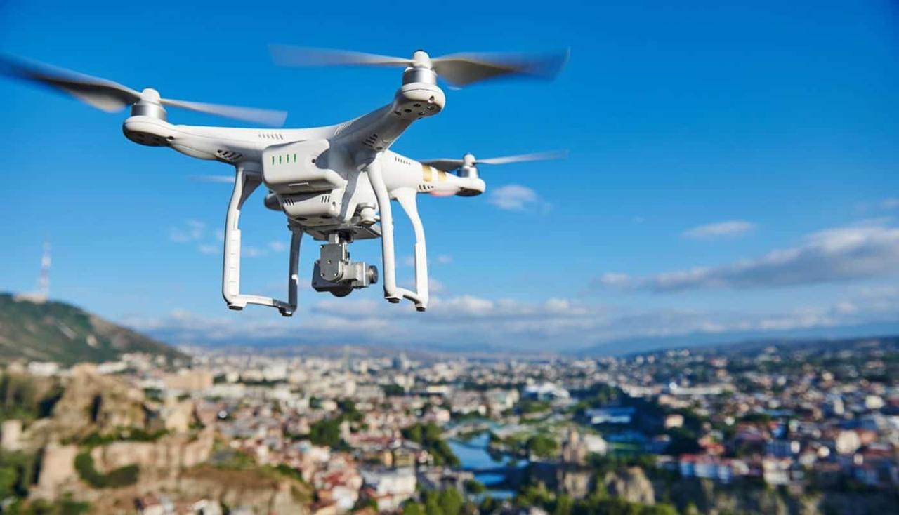
Sky elements drones: Imagine soaring through the air, capturing breathtaking images of cloudscapes, atmospheric phenomena, and the sun’s radiant glow. This isn’t science fiction; it’s the exciting reality of using drones to study and appreciate the sky’s diverse elements. We’ll explore how drones are revolutionizing our understanding of atmospheric conditions, from identifying cloud types to improving weather forecasting.
This guide delves into the practical aspects of using drones for sky observation, covering topics such as choosing the right drone and camera, understanding safety regulations, and processing the captured imagery. We’ll also touch upon the creative applications of this technology, showcasing how drone footage can enhance filmmaking, artistic expression, and even contribute to scientific research.
Sky Element Identification in Drone Footage
Drone footage offers a unique perspective on atmospheric phenomena, providing valuable data for various applications. Understanding how to identify and interpret these sky elements is crucial for maximizing the utility of this technology.
Common Sky Elements in Drone Imagery
Drone footage commonly captures clouds, the sun, and various atmospheric phenomena. Cloud types range from wispy cirrus clouds at high altitudes to dense cumulonimbus clouds associated with thunderstorms. The sun’s position and intensity directly influence the overall lighting and shadows within the footage. Atmospheric phenomena such as fog, haze, rainbows, and even auroras can also be captured, depending on location and weather conditions.
Lighting Conditions and Sky Element Appearance
Lighting conditions significantly alter the visual appearance of sky elements. Bright sunlight creates sharp shadows and enhances color contrast, while overcast conditions result in softer lighting and muted colors. The time of day (sunrise, midday, sunset) dramatically affects the color temperature and intensity of light, influencing the overall mood and visual characteristics of the drone footage. For instance, the golden hour (shortly after sunrise and before sunset) often produces warm, aesthetically pleasing light on clouds.
Identifying Cloud Types from Drone Images
Identifying cloud types involves analyzing their shape, texture, altitude, and associated atmospheric conditions. Cumulus clouds, for example, are characterized by their puffy, cotton-like appearance and relatively low altitude. Stratus clouds are flat and layered, often covering large areas of the sky. Cirrus clouds are high-altitude, wispy clouds made of ice crystals. Detailed visual guides and cloud atlases are invaluable resources for accurate identification.
Sky elements drones are becoming increasingly popular, offering amazing aerial perspectives. However, safety is paramount, as highlighted by recent incidents like the one detailed in this article about a drone crash paris , which underscores the need for responsible operation and thorough pre-flight checks. Understanding these risks is crucial for anyone working with sky elements drones to ensure both safety and successful flights.
Visual Characteristics of Sky Elements
| Cloud Type | Appearance | Altitude | Atmospheric Conditions |
|---|---|---|---|
| Cumulus | Puffy, cotton-like | Low | Fair weather |
| Stratus | Flat, layered | Low | Overcast, drizzle |
| Cirrus | Wispy, feathery | High | Fair weather, often precedes a change |
| Cumulonimbus | Towering, anvil-shaped | High | Thunderstorms, heavy rain, hail |
Drone Technology and Sky Observation
Drones offer significant advantages for observing and studying sky elements. Their maneuverability allows for close-up views of cloud formations and atmospheric phenomena, capturing details often missed by ground-based observations.
Sky elements drones are becoming increasingly popular for their versatility and stunning visuals. If you’re curious about large-scale drone shows, check out the amazing displays at the orlando drone show ; it’s a great example of what’s possible with advanced drone technology. Seeing these shows helps you understand the potential of sky elements drones for entertainment and beyond.
Advantages of Drones for Sky Observation
- High-resolution imagery and video capture.
- Flexibility and maneuverability for optimal positioning.
- Access to various altitudes and perspectives.
- Cost-effectiveness compared to traditional methods.
- Real-time data acquisition.
Drone Camera Capabilities for Sky Imagery, Sky elements drones
Various drone cameras cater to different needs. High-resolution cameras with large sensors capture detailed cloud structures and subtle atmospheric variations. Cameras with wide-angle lenses capture expansive views of the sky, while those with telephoto capabilities allow for close-ups of specific features. Thermal cameras provide additional data on temperature variations within clouds and the atmosphere.
Image Processing Techniques for Sky Observations
Image processing techniques significantly enhance drone-based sky observations. Techniques like color correction, noise reduction, and sharpening improve image quality. Advanced techniques, such as atmospheric correction and cloud segmentation, allow for quantitative analysis of cloud properties and atmospheric conditions.
Improving Weather Forecasting and Atmospheric Research
Drone technology improves weather forecasting and atmospheric research by providing high-resolution data on cloud formations, wind patterns, and other atmospheric phenomena. This data complements traditional weather monitoring systems, providing a more comprehensive understanding of atmospheric dynamics. For example, drones can be used to monitor the development of thunderstorms, providing early warnings of severe weather events.
Safety and Regulations for Drone Operations in Varied Sky Conditions: Sky Elements Drones
Operating drones in adverse weather conditions presents significant risks. Strong winds can damage the drone or cause it to crash. Heavy rain and fog can severely limit visibility and control, increasing the risk of accidents.
Potential Risks of Drone Operation in Adverse Weather
- Loss of control due to strong winds.
- Reduced visibility leading to collisions.
- Damage to the drone from rain, hail, or lightning.
- Compromised GPS signal due to atmospheric interference.
Best Practices for Safe Drone Operation
Safe drone operation requires careful consideration of weather conditions. Never fly in strong winds, heavy rain, thunderstorms, or fog. Always check the weather forecast before each flight and monitor conditions throughout the flight. Maintain visual line of sight with the drone and have a backup plan in case of unexpected issues.
Regulations and Guidelines for Drone Flight
Regulations concerning drone flight vary by location. It’s crucial to understand and adhere to local regulations regarding drone operation in different weather conditions. Many jurisdictions prohibit drone flights in adverse weather or during periods of low visibility.
Decision-Making Process for Safe Drone Operation
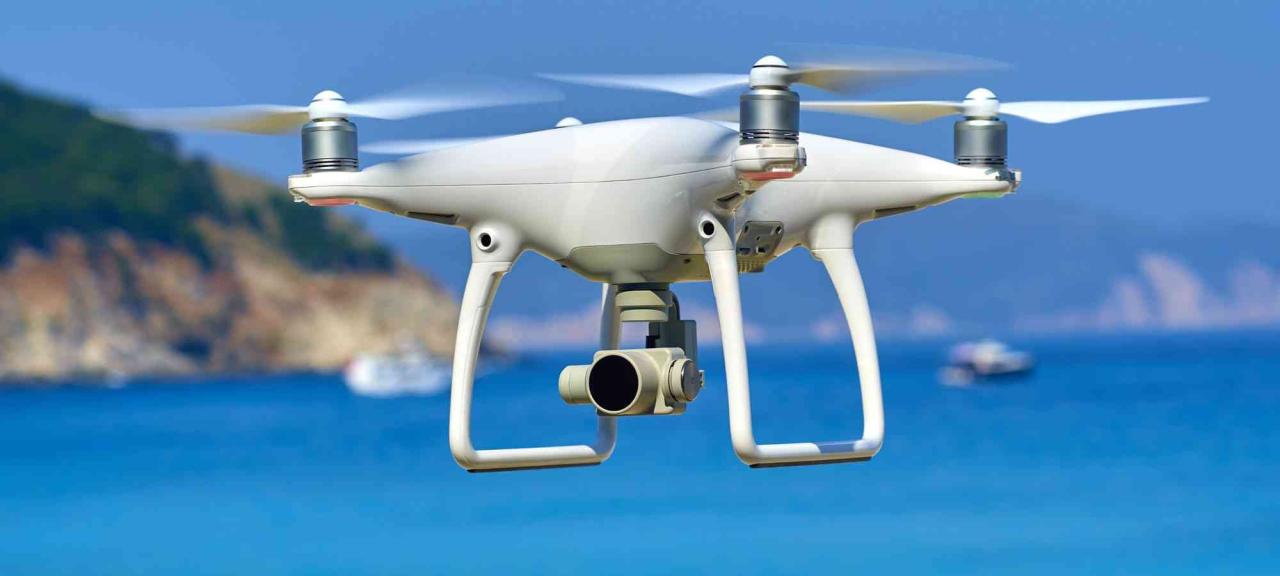
A flowchart illustrating the decision-making process would include checks for wind speed, visibility, precipitation, and thunderstorm activity. If any of these conditions exceed safe operating limits, the flight should be aborted. The flowchart would guide operators through a step-by-step assessment, leading to a “go/no-go” decision for each flight.
Applications of Drone-Captured Sky Data
Drone-captured sky data has numerous applications across various fields. Environmental monitoring, meteorological studies, urban planning, and architectural design all benefit from the unique perspectives and data provided by drones.
Environmental Monitoring with Drone Data
Drone imagery helps detect pollution levels, monitor wildfire spread, and assess the impact of environmental changes. For example, drones equipped with multispectral cameras can detect subtle changes in vegetation health, indicating potential wildfire risks.
Meteorological Studies Using Drone-Based Observations
Drone-based sky observations enhance meteorological studies by providing detailed information on cloud formation, wind patterns, and atmospheric stability. This data helps improve weather forecasting models and our understanding of atmospheric processes.
Drone Imagery in Urban Planning and Architectural Design
Drone imagery of sky elements contributes to urban planning by providing data on sunlight availability and shadow patterns. This information helps optimize building placement and design for better energy efficiency and aesthetics.
Potential Research Projects Using Drone Sky Data
- Investigating the impact of urbanization on cloud formation patterns.
- Analyzing the relationship between atmospheric pollution and cloud microphysics.
- Developing advanced algorithms for automated cloud classification from drone imagery.
- Studying the effects of different land use types on local climate using drone-based observations.
Artistic and Creative Uses of Drone Sky Imagery
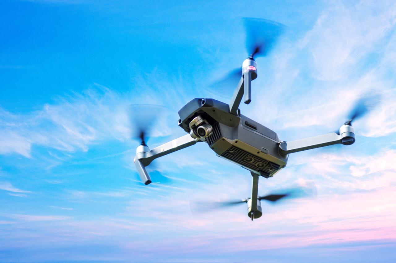
Drone footage of the sky offers stunning visual opportunities for filmmakers and artists. The unique perspectives and dynamic imagery add depth and visual interest to various creative projects.
Drone Sky Footage in Filmmaking and Visual Storytelling
Drone footage can be used to establish setting, create mood, and enhance visual storytelling in films and documentaries. The vastness and beauty of the sky can be effectively used to convey emotion and enhance the narrative.
Aesthetic Qualities of Drone-Captured Sky Images
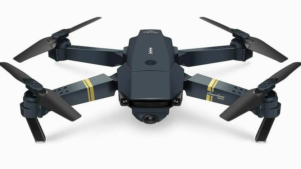
The scale and detail captured by drones create unique aesthetic qualities in sky imagery. The perspective allows for a sense of awe and wonder, showcasing the beauty and power of nature. The dynamic movement and changing light add a sense of energy and excitement.
Processing and Enhancing Drone Sky Images for Art
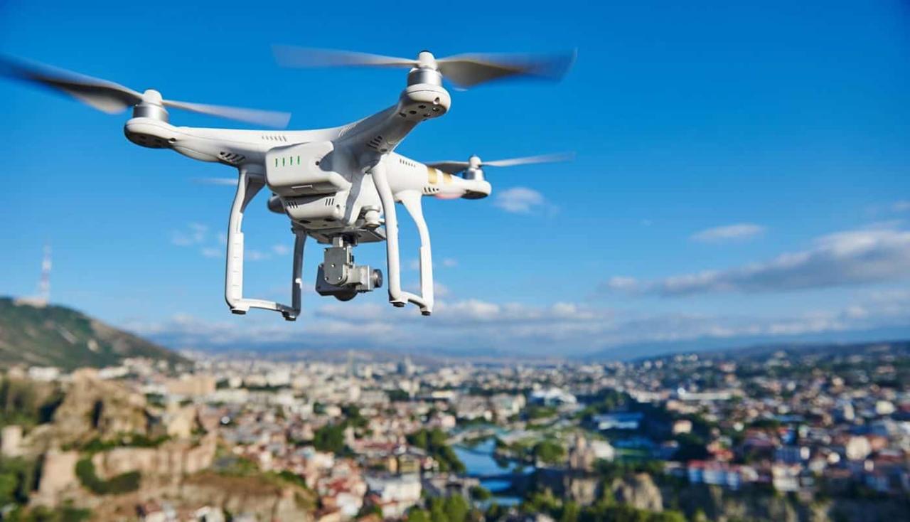
Image processing techniques such as color grading, exposure adjustments, and compositing can significantly enhance the artistic impact of drone sky imagery. These techniques allow artists to create unique moods and visual styles, transforming raw footage into compelling artwork.
Hypothetical Artwork Using Drone Sky Imagery
Imagine a large-scale installation featuring a time-lapse sequence of drone footage capturing the changing sky over a city. The imagery would be projected onto a curved surface, creating an immersive experience that evokes a sense of wonder and contemplation about the relationship between humanity and nature.
Sky Elements drones are known for their reliability, but even the best tech can have issues. A recent incident highlighted this, as you can see from this news report on a drone crash in Paris , which emphasizes the importance of proper maintenance and pilot training. Understanding such incidents helps Sky Elements improve safety protocols and refine drone designs for enhanced performance and reliability.
Ultimate Conclusion
From identifying wispy cirrus clouds to tracking the formation of powerful storm systems, drones are changing how we interact with and understand the sky above. This technology offers a unique perspective, allowing for detailed observations and high-resolution imagery that were previously unattainable. By combining technological advancements with responsible operation, we can harness the power of sky elements drones for scientific discovery, artistic expression, and a deeper appreciation of our planet’s atmospheric wonders.
FAQ Corner
How much do sky element drones cost?
Prices vary widely depending on features and capabilities. Expect to pay anywhere from a few hundred to several thousand dollars.
What are the legal restrictions on flying drones for sky observation?
Regulations differ by country and region. Check with your local aviation authority for specific rules regarding drone operation, including airspace restrictions and licensing requirements.
What type of software is needed to process drone imagery of sky elements?
Many options exist, from free, open-source software to professional-grade photogrammetry and image processing suites. The best choice depends on your needs and technical skills.
Can drones be used in all weather conditions?
No, flying drones in adverse weather (strong winds, heavy rain, thunderstorms) is extremely dangerous and often illegal. Always prioritize safety and check weather forecasts before flying.
